
News
Hiking Trails to Explore
, Starting from the Chalets de la Wormsa
Hikes in the Wormsa Valley
Starting from our place (492 m above sea level):
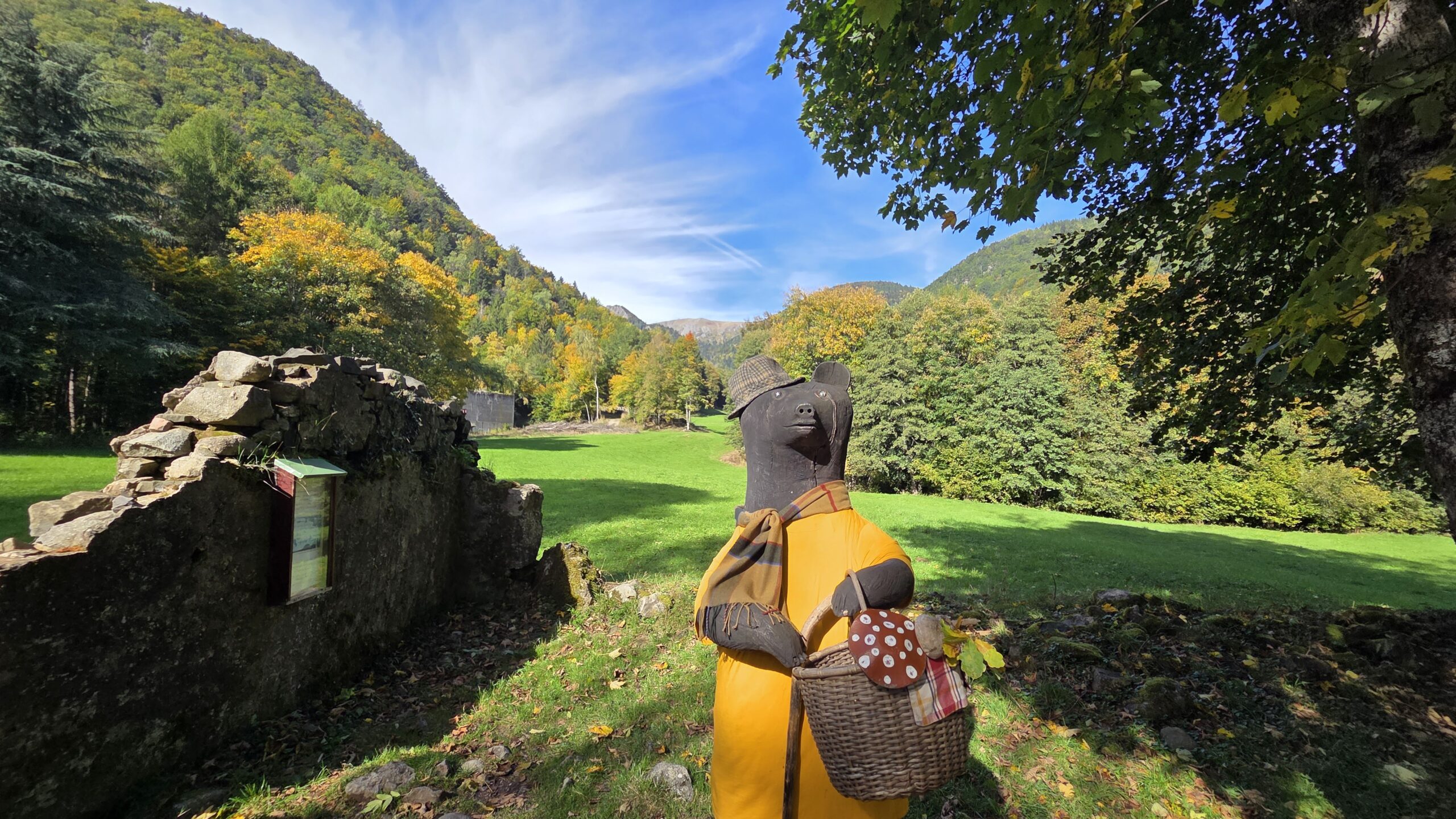
Place del’Ours en bois – short walk – 2 km round trip
Fischboedlé Lake – family hike – 794 m above sea level – 2h15 – 10 km
Schiessrothried Lake – intermediate – 926 m elevation – 3h00 – 13 kms
Le Hohneck Summit – for experienced hikers – 1363 m elevation – 6h00 – 18 kms
Peace and quiet, with no human structures in sight
Place de l’Ours en bois – 2 km
Easy hike.
Suitable for all skill levels and accessible with three-wheeled strollers.
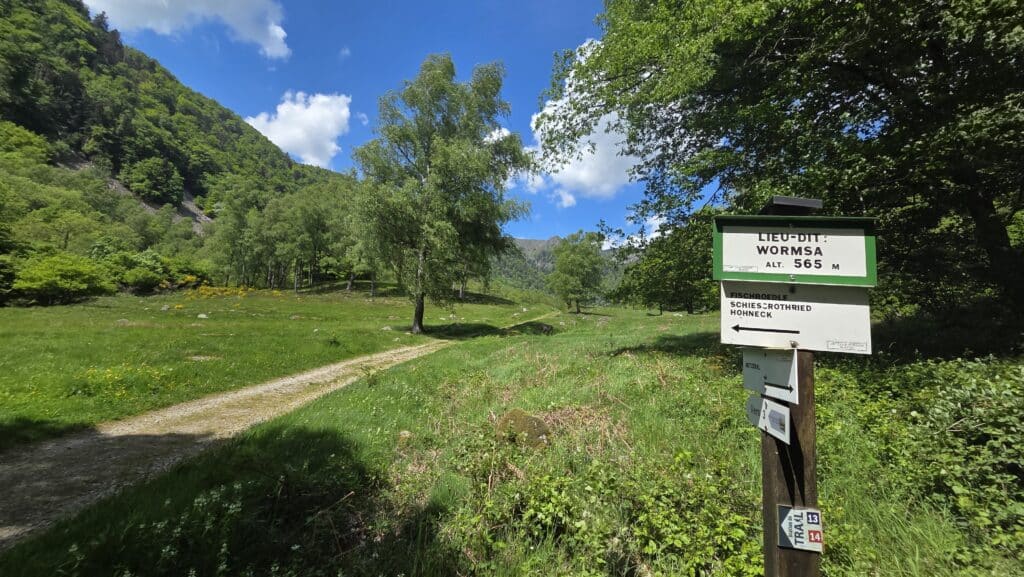
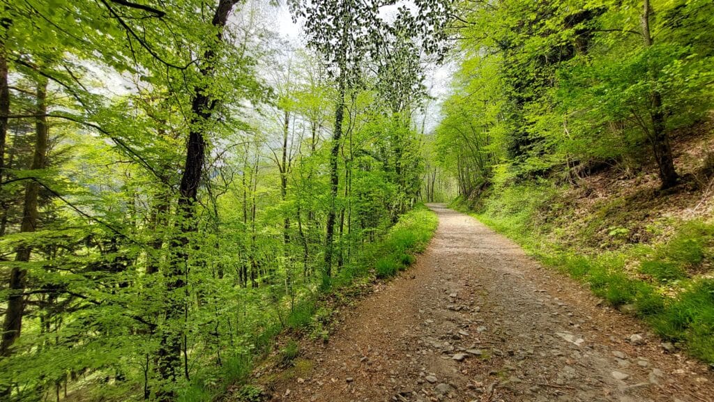
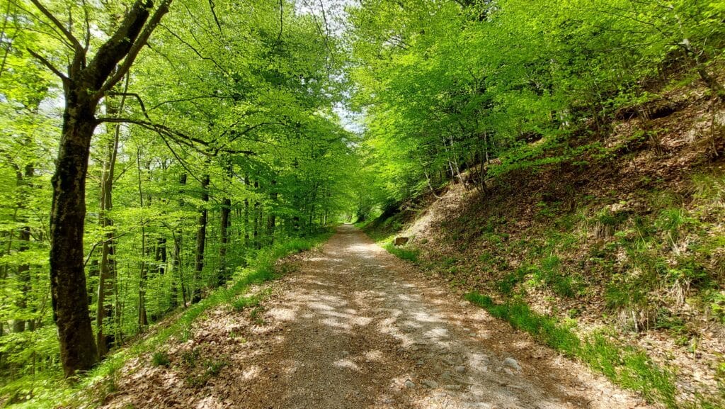
From the reception area at Les Chalets de la Wormsa, take the dirt path across from the Wormsa parking lot. Turn left at the first intersection, and left again at the second intersection.
For those who want to extend the walk (+2 km), you can head into the Wormsa Valley toward Lake Fischboedlé, continuing on to the Scout Monument or to Point of Interest No. 3 on the Metzeral-Mittlach 1914–1918 Historical Trail.
Fischboedlé Lake – 10 km
Moderate-level family hike.
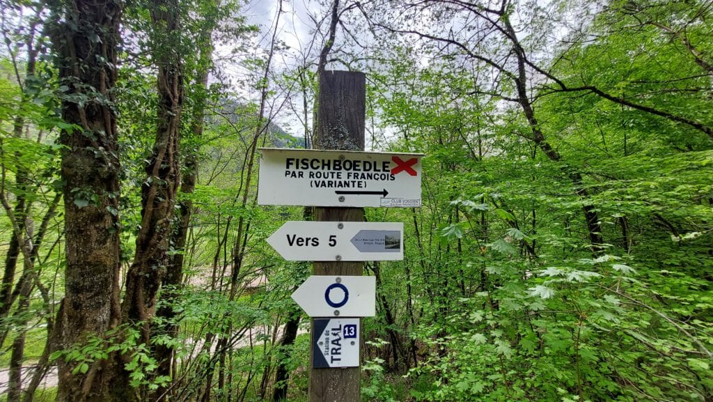
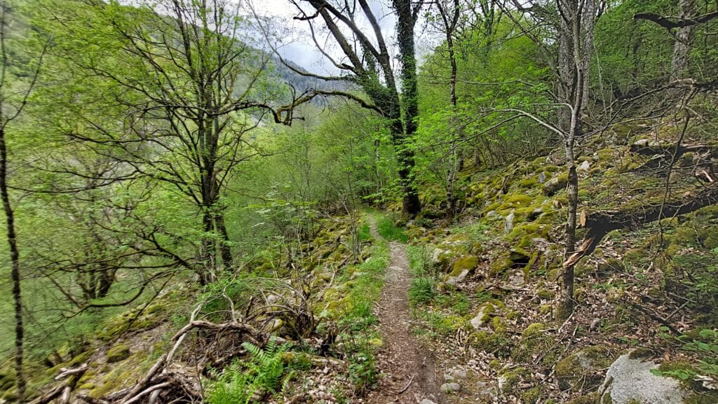
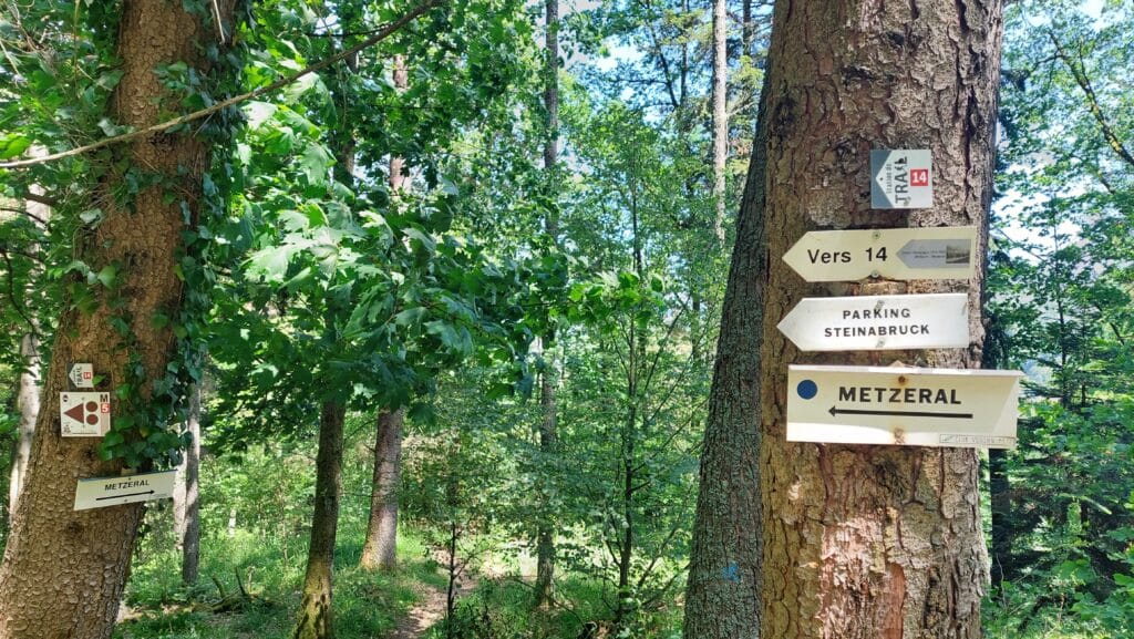
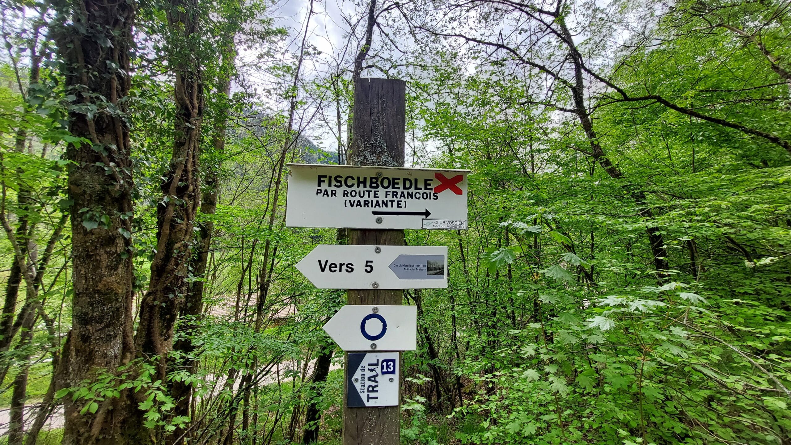
Rocky trail with scree crossings; sturdy hiking boots are essential. Main trail markers: red rectangle (GR5) or red cross.
Estimated time: 2 hours 15 minutes to 3 hours (depending on breaks).
Elevation gain: +300 meters. Distance: 10 km round trip.
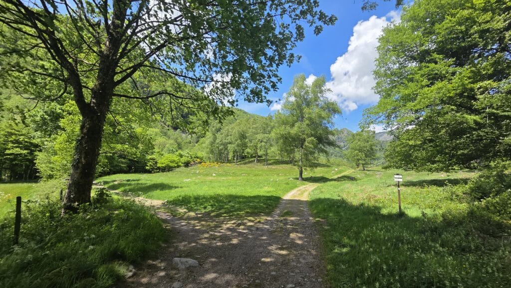
From the Chalets de la Wormsa, take the dirt path across from the Wormsa parking lot. Right at the start, you’ll come to a fork in the path with two options:
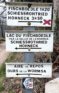
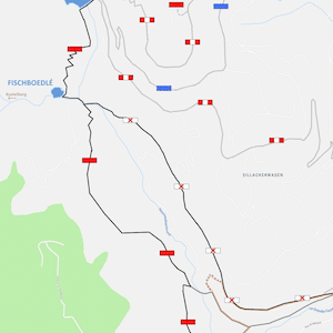
- On the right side, take the François Trail, marked with a red cross. This is the easiest trail, with a steady climb; it runs high above the Wormsa Valley (recommended for the descent).
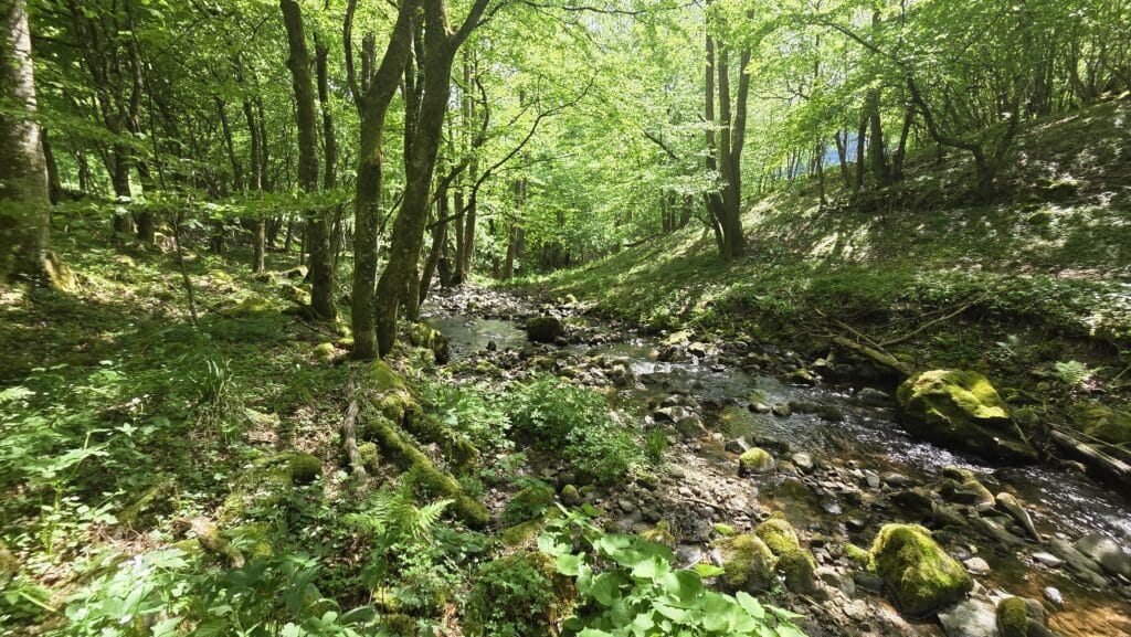
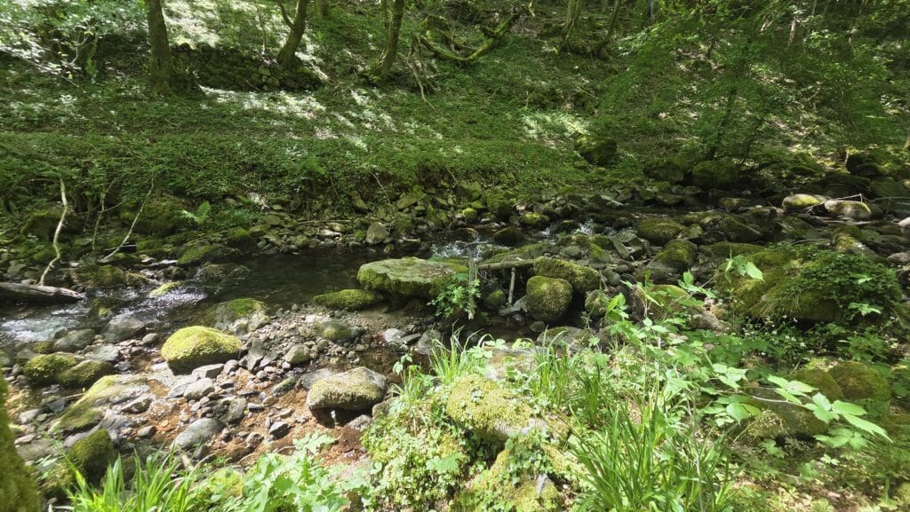
- On the left side, past the Wormsa Bear, at the bottom of the Wormsa Valley. Marked with a red rectangle. An ideal trail for exploring the Wormsa Valley and its stream. More technical, with scree slopes and wooden bridges (recommended for the ascent).
We recommend taking the red rectangle route on the way up and the red cross route on the way down. For an easier hike, use the red cross trail for both the ascent and descent. Before reaching the lake, be sure to check out the Wormsa Waterfall just before the two trails intersect.
At an elevation of 794 meters, you’ll reach Lake Fischboedlé.
Schiessrothried Lake – 13 km
Intermediate-level hike.
Main trail markers: red rectangle (GR5) or red cross.
Estimated time: 3 to 4 hours (depending on breaks).
Elevation gain: +430 meters. Distance: 13 km round trip.
From the Chalets de la Wormsa, take the dirt path across from the Wormsa parking lot. Follow the signs for the Fischboedlé hike. You’ll reach Fischboedlé Lake.
Continue uphill, following the red rectangle (about thirty minutes between the two lakes); there’s a technical section with rocks. You’ll reach the Schiessrothried Lake dam at an elevation of 926 meters.
Return: You have 3 options.
Option 1 and Option 2: Head back down via Fischboedlé Lake (via the Red Cross trail or the red rectangle trail).
Option 3: Head back down following the red-white-red rectangle trail markers—an easier, vehicle-accessible trail—toward Pfeifferberg. Continue down to the Chalets de la Wormsa.
Food? For a meal, you’ll need to head back down to Metzeral or extend your hike to the farm inns from LakeSchiessrothried.
These farmhouse inns serve the famous “marcaire” meal (soup, valley-style pie, smoked pork served with “roïgabrageldi” and Munster cheese), such as La Ferme Auberge du Schiessroth orthe Auberge du Kastelberg. (Reservations required; open from May through October.)
Le Hohneck Summit – 18 km
Hike for experienced hikers.
Main trail markers: red rectangle (GR5) or red cross.
Estimated time: 6 to 8 hours (depending on breaks).
Elevation gain: +870 meters. Distance: 18 km round trip.
From the Chalets de la Wormsa, take the dirt path across from the Wormsa parking lot.
Follow the signs for the Fischboedlé hike.
Follow the signs for the Schiessrothried hike.
Continue uphill past the Schiessroth Farm Inn, following the red rectangular markers.
You will reach the Hohneck, a peak rising to an elevation of 1,363 meters.